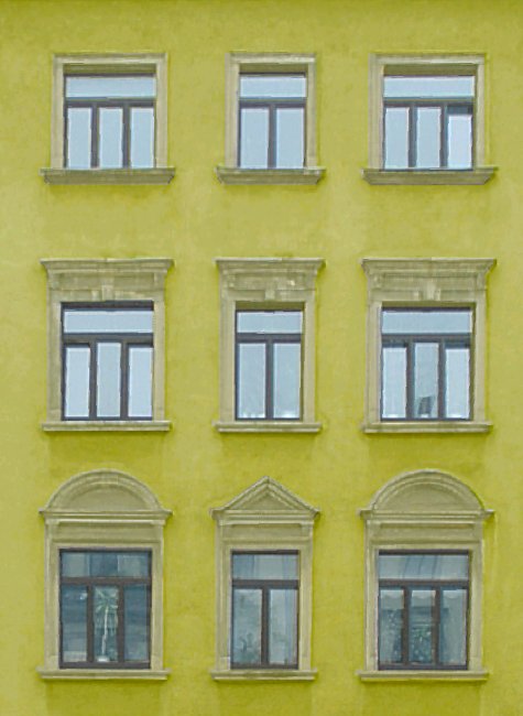
The RolleiMetric MSR provides a software for the production of scale representations of existing objects on the basis of rectified digital images. The base data are images of the object which are rectified in any planes, defined by the user.
Applications
Traffic accident documentation, forensic science.
Acquisition of as-built data in plant construction.
architecture and archaeology, visualization.
city models, specialist applications.
Object acquisition
All measuring tasks are project-oriented in the Rolleimetric MSR.
RolleiMetric MSR accepts image data from both digital and analogue photographic systems.
In the user-friendly editor, calibration data for a number of different cameras may be input and used within the same project. Also, the same camera may be used in a number of different projects. Using calibrated cameras the effects of lens distortion are corrected automatically in the program.
The program guides the user through its sections and facilitates the working process and excludes faulty operations.
Image management
RolleiMetric MSR contains a project-oriented image management system.
RolleiMetric MSR displays thumbnail overviews at a user-specified resolution. During the analysis of a project, the image data is constantly refreshed on the screen.
Geometric data model
For digital image rectification, planes can be freely defined by the user. The easy to use plane editor allows convenient management of all data.
The base data for the rectification can be derived from available two-or three-dimensional reference point information.
The necessary information can also be taken from over-determined distance measurements on the object. With the program module DiaVier the recorded distance information can be controlled visually. An adjustment of tolerances is being executed and visualized.
The program module Plane by Parallels allows an easy and fast preparation of rectified images. On-site measurement can be kept to two distance measurements on the object this way.
System data from the measuring camera and object coordinates acquired with the RolleiMetric multi-image evaluation software CDW can be imported.
RolleiMetric MSR3D also incorporated a function for the photogrammetric determination of planes according to the RolleiMetric multi-image process from two or three photographs that capture an object range from different viewpoints. On-site measurement can be kept to a minimum this way.
Digital image rectification
For image rectification the areas that are to be projected are selected in the corresponding originals and assigned to the respective plane. The effects of lens distortion are corrected automatically. In RolleiMetric MSR several rectified images, also with different resolutions, can be provided within a project.
Connection of rectified images
Images, which cannot be joined automatically to a huge image plan, can be connected semi automatic in the RolleiMetric MSR. Thus large image planes can be provided also with the simple and fast rectification by parallels.
CAD interface
CAD functionalities, like points, distances, polygons, rectangles, circles, circular arcs or text can be drawn in different layer by an integrated CAD module. The dimensioning can take place vertical or horizontal or as inclined distance.
RolleiMetric MSR can export and import DXF-files from different data bases.
RolleiMetric MSR versions
RolleiMetric MSR is available in the following versions:
Light version: Rectification over parallel lines or from over determined distance measurements.
Full version: Unlimited version
All versions run on a Pentium PC under Windows 32 Bit operating systems.
|